


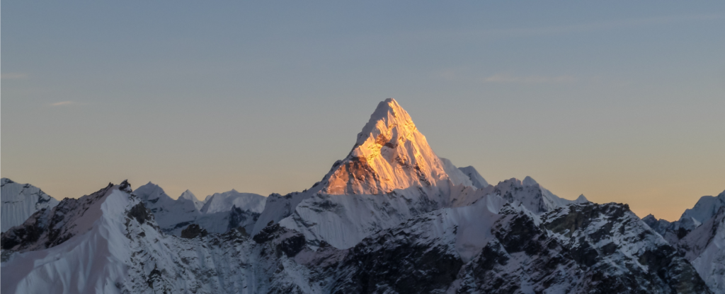
The five summits you can’t miss in Asia
From snow-capped giants to sacred volcanoes: a tour of Asia’s most fascinating peaks Asia is a continent of extreme contrasts. From the vastness of the
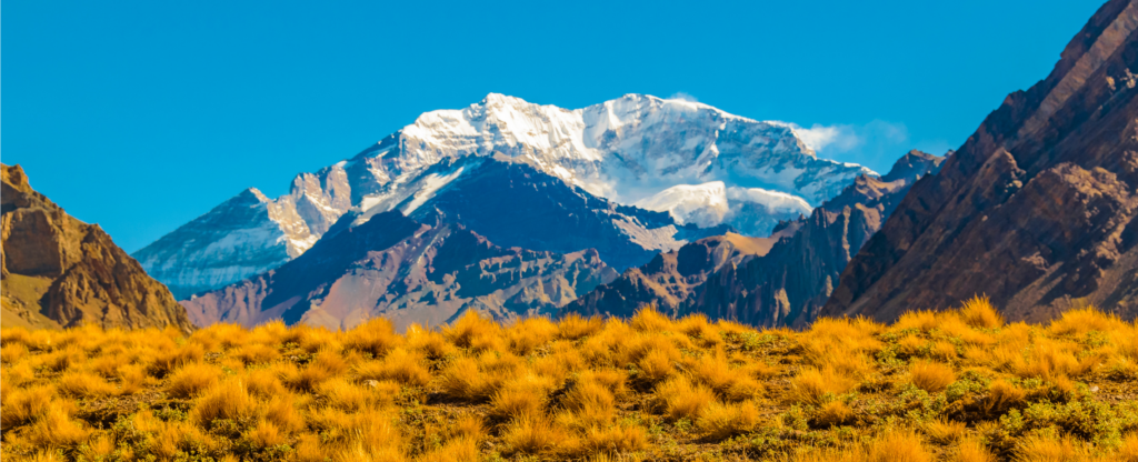
The 5 summits you can’t miss in South America
The most impressive mountains on the continent that every mountaineer must conquer South America is a paradise for mountaineering enthusiasts, with some of the most
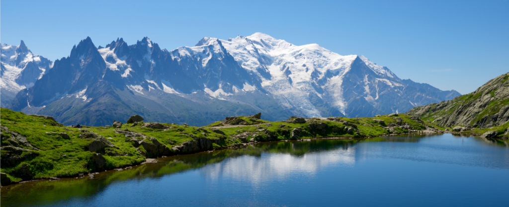
The 5 summits you can’t miss in Europe
Rediscovering Europe from its most emblematic peaks At Top Summits of the World our mission is to climb the highest mountains in each country and